
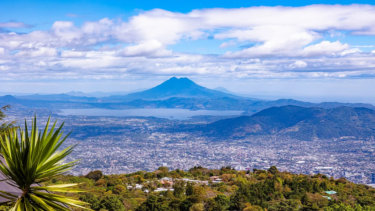
San Vicente Volcano (Chichontepec), El Salvador
At a glance
| San Vicente volcano | |
|---|---|
| Other name | Chichontepec |
| Department | San Vicente and La Paz |
| Summit | 2,149 m, two peaks |
| Last eruption | None known in the Holocene |
| Geothermal | A reservoir of about 12 km² under the north flank; a 5 MW LaGeo pilot plant since 2023 |
Source: Smithsonian Global Volcanism Program: San Vicente; Diario El Mundo: the San Vicente geothermal plant already generates 5 MW, 22 September 20251,3
Map
The volcano
- No recent eruption: the Smithsonian Global Volcanism Program knows of no eruption in the last 10,000 years; reports of eruptions in 1643 and 1835 are false.
- Landslides and lahars: the M6.6 earthquake of 13 February 2001 triggered landslides that killed 39 people. On 7–8 November 2009 heavy rain sent lahars into Verapaz and Guadalupe; 198 deaths had been reported by 22 November.
Source: Smithsonian Global Volcanism Program: San Vicente1
Geothermal power
Hot springs on the north flank sit above a geothermal reservoir of about 12 km². LaGeo has fed 5 MW from a pilot plant at San Vicente into the national grid since 2023.1,3
For investors
Volcanoes bring geothermal power, fertile coffee land and visitors, and they also bring risk. For a hotel, a farm or a home near a volcano, ask your engineer and insurer about volcanic, landslide and seismic hazards before you buy.
Sources
- Smithsonian Global Volcanism Program: San Vicente
- Smithsonian Global Volcanism Program: Ilopango
- Diario El Mundo: the San Vicente geothermal plant already generates 5 MW, 22 September 2025 (in Spanish)
Figures checked 9 November 2026. Prepared by InvestSalvador.com for general information. Figures come from the sources listed.