
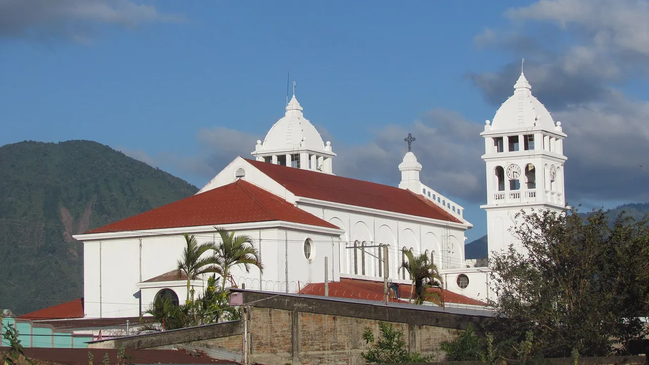
Ruta de las Flores, El Salvador: Six Mountain Towns of Coffee and Crafts
Map of the route
- 1 Ahuachapán Ahuachapán Centro; colonial church of the 18th century
- 2 Concepción de Ataco Ahuachapán Centro; cafés, murals and the Mirador de la Cruz
- 3 Apaneca Ahuachapán Centro; canopy, buggies and the Laguna Verde
- 4 Juayúa Sonsonate Norte; the Siete Cascadas and the Cristo Negro church
- 5 Salcoatitán Sonsonate Norte; murals and the Museo de la Imprenta
- 6 Nahuizalco Sonsonate Norte; night market of wicker and tule crafts
The six towns
| Town | Municipality | Flower | Known for |
|---|---|---|---|
| Ahuachapán | Ahuachapán Centro | Gerbera | The historic centre, Parque La Concordia and the 18th-century church of Nuestra Señora de La Asunción |
| Concepción de Ataco | Ahuachapán Centro | Bird of paradise | Cafés, the Mirador de La Cruz, trails and street murals |
| Apaneca | Ahuachapán Centro | Anthurium | Buggy rides, canopy tours over pine forest, Las Ninfas and the Laguna Verde |
| Juayúa | Sonsonate Norte | Flor de Tango | The Ruta de las Siete Cascadas, restaurants and the church of the Cristo Negro |
| Salcoatitán | Sonsonate Norte | Wild sunflower | Murals and mosaics, the Museo de la Imprenta and craft workshops |
| Nahuizalco | Sonsonate Norte | Ginger | A night market of crafts in wicker and tule, and Indigenous traditions |
Source: El Salvador Travel: the Ruta de las Flores, nature, adventure, coffee and food1
Coffee and the biosphere reserve
- Apaneca-Ilamatepec became a UNESCO biosphere reserve in 2007, with 59,056 ha and about 827,000 inhabitants.
- Almost 4,000 ha are set aside for conservation in nine core zones, linked by about 39,500 ha of shade-grown coffee.
- Certified traditional, gourmet and organic coffee is grown, and the reserve includes Lake Coatepeque, the Laguna Verde and the Laguna Las Ninfas.
- Indigenous communities in the area keep their traditions and languages.
Source: UNESCO Man and the Biosphere Programme: Apaneca-Ilamatepec biosphere reserve2
Geothermal power
The Apaneca range is volcanic. The Ahuachapán geothermal field, on its northern side, has produced power since 1975.3
The towns, one by one
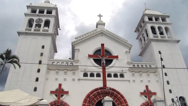
Juayúa
The weekend food fair, the Black Christ and seven waterfalls.
24,344 Inhabitants of the district, 2024 census
Read more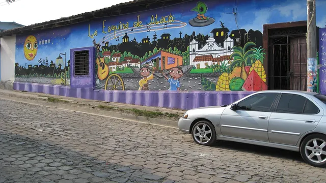
Concepción de Ataco
Murals, coffee and lanterns at 1,260 m.
1,260 m Altitude of the town
Read more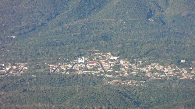
Apaneca
Crater lakes, coffee and canopy at 1,477 m.
1,477 m Altitude of the town
Read more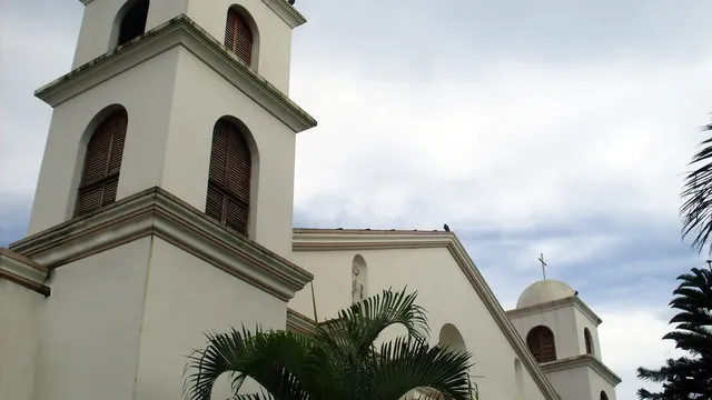
Nahuizalco
A night market, crafts and Indigenous heritage.
55,641 Inhabitants of the district, 2024 census
Read more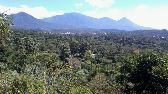
Salcoatitán
Mosaics, the Printing Museum and weekend food.
1,045 m Altitude of the town
Read more
Sources
- El Salvador Travel: the Ruta de las Flores, nature, adventure, coffee and food (in Spanish)
- UNESCO Man and the Biosphere Programme: Apaneca-Ilamatepec biosphere reserve
- Smithsonian Global Volcanism Program: Apaneca Range
Figures checked 9 November 2026. Prepared by InvestSalvador.com for general information. Figures come from the sources listed.