
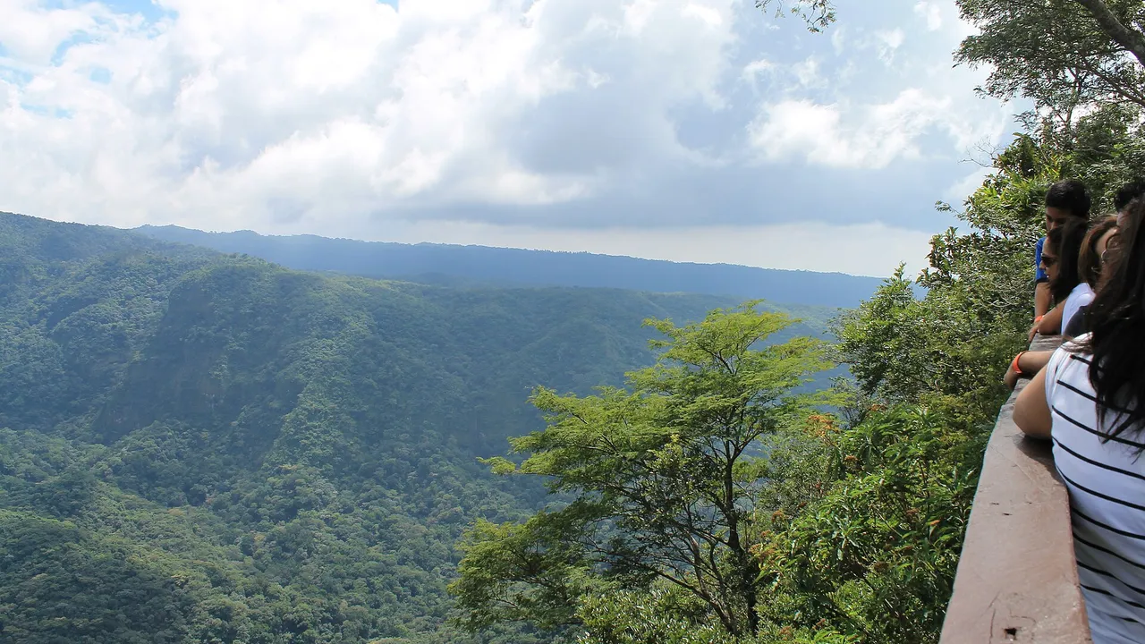
National Parks and Protected Areas of El Salvador
Map
- 1 Montecristo National Park Cloud forest, about 1,973 ha
- 2 El Imposible National Park About 4,977 ha, 250 to 1,450 m
- 3 Cerro Verde National Park Extinct volcano with cloud forest, about 2,030 m
- 4 El Boquerón National Park The crater of the San Salvador volcano
- 5 Lake Coatepeque reserve Protected natural reserve since 2023
- 6 Complejo Güija 10,180 ha
- 7 Embalse Cerrón Grande 60,698 ha
- 8 Barra de Santiago 11,519 ha
- 9 Los Cóbanos 21,312 ha; coral reef formation
- 10 Complejo Jaltepeque 49,474 ha
- 11 Bahía de Jiquilisco 63,500 ha; the largest mangroves
- 12 Laguna El Jocotal 4,479 ha; bird sanctuary
- 13 Laguna de Olomega 7,556.8 ha
Main parks and protected areas
| Area | Where | Size | Notes |
|---|---|---|---|
| Montecristo National Park | About 5 km north-east of Metapán, Santa Ana | About 1,973 ha | The first official protected area; cloud forest with 343 species of vertebrates, 43% of those recorded in the country; part of the Trifinio reserve |
| El Imposible National Park | Tacuba, San Francisco Menéndez and Concepción de Ataco, Ahuachapán | About 4,977 ha | From 250 to 1,450 m; more than 279 bird species and more than 500 butterfly species; protects rivers that flow to the coast |
| Cerro Verde National Park | Santa Ana | An extinct volcano of about 2,030 m covered by cloud forest, with views of the Santa Ana and Izalco volcanoes | |
| Laguna El Jocotal | San Miguel and Usulután | 4,479 ha | Protected since 1976, a bird sanctuary since 1983 and a Ramsar site since 1999; 252 bird species |
| Lake Coatepeque | Santa Ana | 25.3 km² | Declared a protected natural reserve on 17 February 2023 |
Source: El Diario de Hoy: the six main protected areas of El Salvador, 20251
The eight Ramsar wetlands
| Wetland | Region | Area, ha | Listed |
|---|---|---|---|
| Complejo Bahía de Jiquilisco | Usulután | 63,500 | 2005 |
| Embalse Cerrón Grande | Chalatenango, San Salvador, Cuscatlán, Cabañas | 60,698 | 2005 |
| Complejo Jaltepeque | Paracentral region (La Paz) | 49,474 | 2011 |
| Complejo Los Cóbanos | Sonsonate | 21,312 | 2019 |
| Complejo Barra de Santiago | Ahuachapán and Sonsonate | 11,519 | 2014 |
| Complejo Güija | Santa Ana | 10,180 | 2010 |
| Laguna de Olomega | Eastern region | 7,556.8 | 2010 |
| Laguna del Jocotal | Eastern region | 4,479 | 1999 |
Source: Ramsar Convention: annotated list of wetlands of international importance, El Salvador2
Bahía de Jiquilisco is the largest area of brackish water, Cerrón Grande the largest body of fresh water, and Los Cóbanos has the only coral reef formation between Mexico and Costa Rica, according to the Ramsar list.2
UNESCO biosphere reserves
| Reserve | Since | Area listed by UNESCO | Notes |
|---|---|---|---|
| Xiriualtique-Jiquilisco | 2007 | 101,607 ha | The largest mangroves of El Salvador, more than half of the national total |
| Apaneca-Ilamatepec | 2007 | 59,056 ha | Volcanoes, cloud forest and about 39,500 ha of shade-grown coffee |
| Trifinio Fraternidad | 2011 | 108,020 ha | Shared with Guatemala and Honduras, the first transboundary reserve in Central America; includes Montecristo |
Source: UNESCO Man and the Biosphere Programme: Xiriualtique-Jiquilisco biosphere reserve; UNESCO Man and the Biosphere Programme: Apaneca-Ilamatepec biosphere reserve; UNESCO Man and the Biosphere Programme: Trifinio Fraternidad transboundary biosphere reserve4,3,5
The parks, one by one
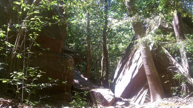
El Imposible
Tropical forest in the Apaneca range, with a permit from the Ministry.
4,977 ha Approximate area
Read more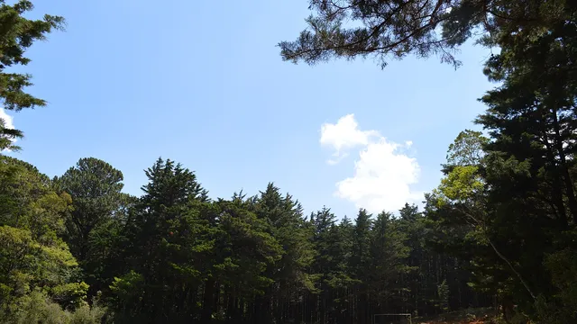
Montecristo
Cloud forest where El Salvador, Guatemala and Honduras meet.
1,973 ha Approximate area
Read more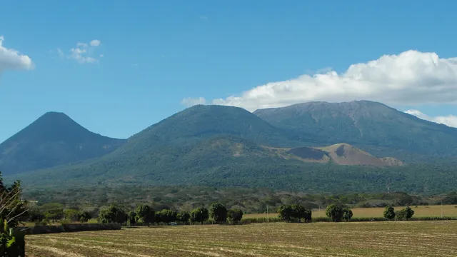
Los Volcanes and Cerro Verde
Three volcanoes, cloud forest and the guided climbs.
3 Volcanoes in the park
Read more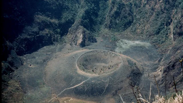
El Boquerón
The crater of the San Salvador volcano, minutes from the capital.
1,893 m Summit of the San Salvador volcano
Read more
Sources
- El Diario de Hoy: the six main protected areas of El Salvador, 2025 (in Spanish)
- Ramsar Convention: annotated list of wetlands of international importance, El Salvador (PDF)
- UNESCO Man and the Biosphere Programme: Apaneca-Ilamatepec biosphere reserve
- UNESCO Man and the Biosphere Programme: Xiriualtique-Jiquilisco biosphere reserve
- UNESCO Man and the Biosphere Programme: Trifinio Fraternidad transboundary biosphere reserve
Figures checked 9 November 2026. Prepared by InvestSalvador.com for general information. Figures come from the sources listed.