
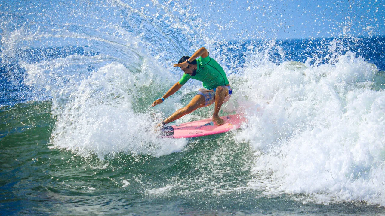
Surf City, El Salvador: The Coastal Tourism Programme and Its Beaches
Map of the surf beaches
- 1 El Zonte Chiltiupán, La Libertad Costa; km 53 of the coastal road
- 2 El Sunzal Tamanique; a long right point break
- 3 El Tunco Tamanique, La Libertad Costa; 7 km west of the port of La Libertad
- 4 Punta Roca La Libertad Costa, next to the port
- 5 Costa del Sol La Paz Centro, a long sandy beach
- 6 Punta Mango Usulután Este
- 7 El Cuco San Miguel Centro, 170 km from San Salvador
- 8 Las Flores Chirilagua, San Miguel Centro; right point breaks
- 9 Los Cóbanos Acajutla, Sonsonate Oeste; a fishing village near the port
- 10 Gulf of Fonseca La Unión; islands shared with Honduras and Nicaragua
Surf City I
The Ministry of Tourism lists these projects of the first phase:
- Improvement of the tourist boardwalk (malecón) of the port of La Libertad
- The Sunset Park amusement park
- A treatment plant and tourism works at El Tunco beach
- The Surf City Walter Thilo Deininger adventure park
- A wastewater treatment plant at Puerto El Triunfo and Jiquilisco
- A boardwalk and pier at Puerto Parada
- Non-repayable grants for small tourism businesses
Source: Ministry of Tourism: Surf City programme1
Surf City II
The second phase, financed with the $106 million IDB loan, covers the east of the country:
- Urban tourism corridors and cycle routes at El Cuco and Las Flores, in Chirilagua, San Miguel
- Ecological boardwalks, viewpoints and tourist signs
- Toilets and public showers on beaches, and wastewater treatment plants
- Improvements to the Altos de la Cueva adventure park, with a Gastro-Lab
- A high-performance sports centre
Source: Ministry of Tourism: Surf City programme1
The programme also lists international surf contests, staff training and a beach certification programme.1
The beaches
| Beach | Location | What the Ministry of Tourism says |
|---|---|---|
| El Tunco | Tamanique, La Libertad Costa | The best-known surf beach, named after a rock shaped like a pig; at km 43 of the coastal road |
| El Zonte | Chiltiupán, La Libertad Costa | A small coastal community at km 53 of the coastal road |
| El Sunzal | Tamanique | Possibly where surfing began in El Salvador, in the late 1960s |
| Punta Roca | La Libertad Costa | On the edge of the port town of La Libertad |
| Costa del Sol | La Paz Centro | A sandy beach in a valley, unlike the rocky coast to the east and west |
| Punta Mango | Usulután Este | A remote surf point in the east |
| El Cuco | San Miguel Centro | A long black-sand beach, 170 km from San Salvador |
| Las Flores | Chirilagua, San Miguel Centro | A small inlet followed by rocky points with right-hand waves |
| Los Cóbanos | Acajutla, Sonsonate Oeste | A fishing village near the port of Acajutla |
| Gulf of Fonseca | La Unión | Islands where El Salvador, Honduras and Nicaragua meet |
Source: El Salvador Travel (Ministry of Tourism): Surf City beaches; El Salvador Travel (Ministry of Tourism): El Tunco2,3
For investors
Hotels, rentals and restaurants near the Surf City beaches can apply for the incentives of the Tourism Law. The beach itself is public, and land next to it must leave a public strip; the beach property guide explains the rules and the asking prices for coastal land.
The beaches, one by one
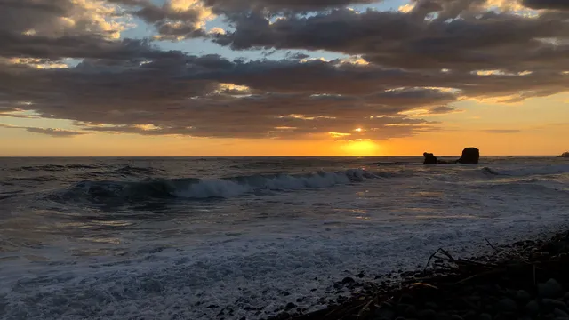
El Tunco
The surf town at km 43 and the La Bocana wave.
km 43 Of the coastal road (Litoral)
Read more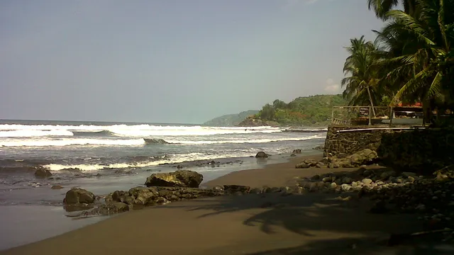
El Zonte
A point break at km 53 and the Bitcoin Beach project.
km 53 Of the coastal road (Litoral)
Read more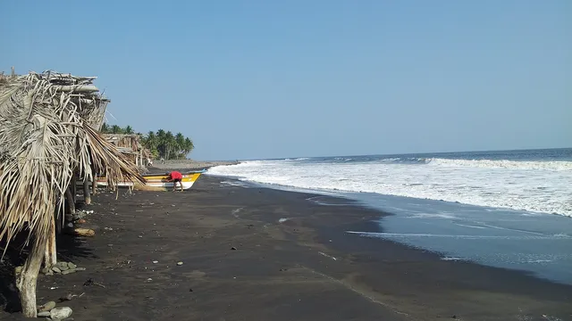
El Sunzal
A long right point break, surfed since the late 1960s.
300 m Longest ride, from the outside to the inside section
Read more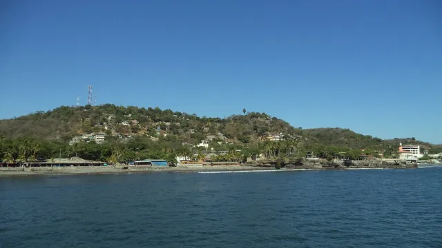
Punta Roca
A fast right over rock, at the edge of the port.
300 m Distance of the break from the shore
Read more
Sources
- Ministry of Tourism: Surf City programme (in Spanish)
- El Salvador Travel (Ministry of Tourism): Surf City beaches
- El Salvador Travel (Ministry of Tourism): El Tunco
- Ministry of Tourism: tourism statistics report 2025 (in Spanish)
Figures checked 9 November 2026. Prepared by InvestSalvador.com for general information. Figures come from the sources listed.