
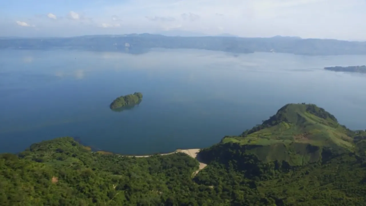
Lake Ilopango, El Salvador
At a glance
| Lake Ilopango | |
|---|---|
| Departments | San Salvador, Cuscatlán and La Paz |
| Lake level | 450 m |
| Depth | More than 230 m |
| Last eruption | 1879–1880, the Islas Quemadas |
Source: El Salvador.com: the four lakes of El Salvador every visitor should know, 2026; Smithsonian Global Volcanism Program: Ilopango1,2
Map
- 1 Lake Ilopango Caldera lake, 72 km²
- 2 Santa Ana volcano 2,381 m; last eruption 2005
- 3 Izalco volcano 1,950 m; last eruption 1966
- 4 San Vicente volcano 2,149 m; two summit peaks
- 5 Lake Coatepeque Caldera lake, 25.3 km²
- 6 Lake Suchitlán Reservoir of the Cerrón Grande dam
- 7 Los Volcanes National Park (Cerro Verde) Cerro Verde, Santa Ana and Izalco
- 8 El Boquerón National Park The crater of the San Salvador volcano
The caldera
- The Tierra Blanca Joven eruption: the 5th-century eruption of Ilopango devastated early Maya cities in the region.
- The Islas Quemadas: lava domes rose in the lake in 1879–1880 and formed the islands, the last eruption of the caldera.
Source: Smithsonian Global Volcanism Program: Ilopango2
Visiting
Visitors dive, paddleboard, kayak, swim, fish and take boat trips; restaurants with views line the shore and the scenic road above it.3,1
For investors
Volcanoes bring geothermal power, fertile coffee land and visitors, and they also bring risk. For a hotel, a farm or a home near a volcano, ask your engineer and insurer about volcanic, landslide and seismic hazards before you buy.
Sources
- El Salvador.com: the four lakes of El Salvador every visitor should know, 2026 (in Spanish)
- Smithsonian Global Volcanism Program: Ilopango
- El Salvador Travel (Ministry of Tourism): Lake Ilopango
Figures checked 9 November 2026. Prepared by InvestSalvador.com for general information. Figures come from the sources listed.