
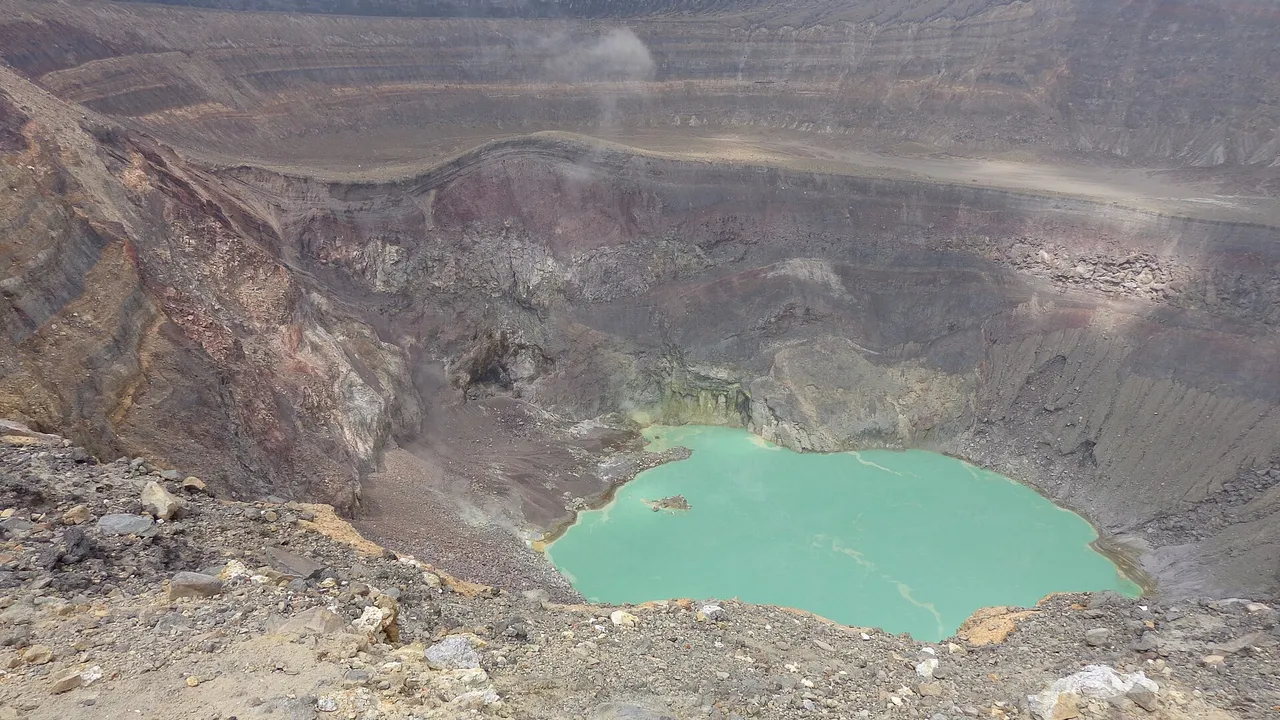
Volcanoes and Lakes of El Salvador
Map
- 1 Santa Ana volcano (Ilamatepec) 2,381 m; last eruption 2005
- 2 Izalco volcano 1,950 m; last eruption 1966
- 3 Lake Coatepeque 25.3 km², up to 115 m deep
- 4 San Salvador volcano 1,893 m; last eruption 1917
- 5 Lake Ilopango Caldera of 8 × 11 km; last eruption 1880
- 6 San Vicente volcano (Chichontepec) 2,149 m
- 7 San Miguel volcano (Chaparrastique) Eruption from 2022 to 2023
- 8 Lake Güija Ramsar wetland of 10,180 ha
- 9 Cerrón Grande reservoir (Lake Suchitlán) The largest body of fresh water
- 10 Laguna de Olomega Ramsar wetland of 7,556.8 ha
The main volcanoes
| Volcano | Department | Summit | Last known eruption |
|---|---|---|---|
| Santa Ana (Ilamatepec) | Santa Ana | 2,381 m | 2005 |
| San Vicente (Chichontepec) | San Vicente | 2,149 m | Not dated; reports of 1643 and 1835 are false |
| San Miguel (Chaparrastique) | San Miguel | 2,130 m | November 2022 to May 2023 |
| Izalco | Sonsonate | 1,950 m | 1966 |
| San Salvador (Boquerón) | San Salvador and La Libertad | 1,893 m | 1917 |
| Ilopango (caldera) | San Salvador, Cuscatlán and La Paz | 450 m | 1880 |
Source: Smithsonian Global Volcanism Program: Santa Ana; Smithsonian Global Volcanism Program: San Vicente; Smithsonian Global Volcanism Program: San Miguel; CIA: The World Factbook, El Salvador, December 2012 (CIA Reading Room copy at the Internet Archive); Smithsonian Global Volcanism Program: Izalco; Smithsonian Global Volcanism Program: San Salvador; Smithsonian Global Volcanism Program: Ilopango2,6,5,8,3,4,7
Heights and eruptions from the Smithsonian Global Volcanism Program; the height of San Miguel from the CIA World Factbook. The highest point of the country, Cerro El Pital at 2,730 m, is not a volcano.9
- Santa Ana: a collapse in the late Pleistocene sent a debris avalanche into the Pacific and formed the Acajutla Peninsula. Vents and cones line a 20 km fissure from near Chalchuapa to the south-east flank.
- Izalco: began growing in 1770 on the southern flank of Santa Ana. Its frequent eruptions until 1966 lit the night for ships, and it became known as the Lighthouse of the Pacific.
- San Salvador: the volcano rises west of the capital. Its Boquerón crater is 1.5 km wide and about 500 m deep; the 1917 eruption left a small cone on the crater floor.
- San Miguel: one of the most active volcanoes in the country, with eruptions recorded since the early 16th century and lava fields on its south-east side crossed by highways.
Source: Smithsonian Global Volcanism Program: Santa Ana; Smithsonian Global Volcanism Program: Izalco; Smithsonian Global Volcanism Program: San Salvador; Smithsonian Global Volcanism Program: San Miguel2,3,4,5
Lakes and reservoirs
- Lake Ilopango fills an 8 by 11 km caldera immediately east of San Salvador. Its 5th-century eruption, the Tierra Blanca Joven, devastated early Maya cities; the Islas Quemadas in the lake formed in 1879 to 1880.
- Lake Coatepeque, in a caldera 18 km south of Santa Ana, covers 25.3 km², is up to 115 m deep and lies at 745 m. The Ministry of Environment declared it a protected natural reserve on 17 February 2023.
- Cerrón Grande, the reservoir also called Lake Suchitlán, is the largest body of fresh water in the country and a Ramsar wetland of 60,698 ha.
- Lake Güija, on the Guatemalan border in Santa Ana, and the Laguna de Olomega, in the east, are also Ramsar wetlands.
Source: Smithsonian Global Volcanism Program: Ilopango; El Diario de Hoy: the six main protected areas of El Salvador, 2025; Ramsar Convention: annotated list of wetlands of international importance, El Salvador7,10,11
For investors
Volcanoes bring geothermal power, fertile coffee land and tourism, and they also bring risk. For a factory, a hotel or a home near a volcano, ask your engineer and insurer about volcanic and seismic hazards before you buy.
The volcanoes and lakes, one by one
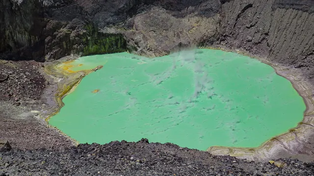
Santa Ana volcano
The highest volcano: 2,381 m, a crater lake and a guided climb.
2,381 m Summit, the highest volcano of El Salvador
Read more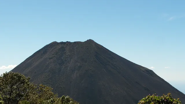
Izalco volcano
The young cone, the "Lighthouse of the Pacific", quiet since 1966.
1,950 m Summit
Read more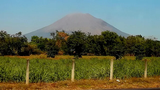
San Miguel volcano
The most recent eruption, 2022–2023, beside the city of San Miguel.
2,130 m Summit
Read more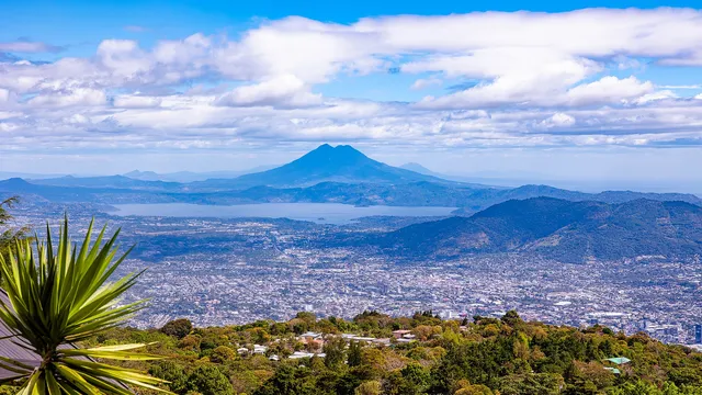
San Vicente volcano
Twin peaks, the 2009 lahars and a geothermal field.
2,149 m Summit
Read more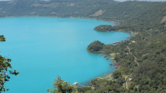
Lake Coatepeque
A blue caldera lake south of Santa Ana, protected since 2023.
25.3 km² Surface of the lake
Read more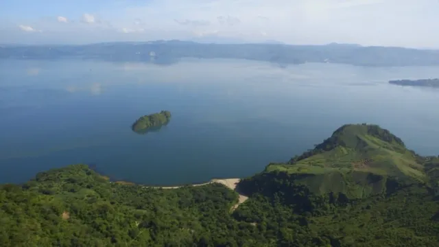
Lake Ilopango
The largest lake: a 72 km² caldera next to the capital.
72 km² Surface of the lake
Read more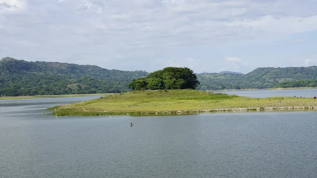
Lake Suchitlán
The Cerrón Grande reservoir, a Ramsar wetland by Suchitoto.
135 km² Surface of the lake
Read more
Sources
- Smithsonian Global Volcanism Program: volcanoes of El Salvador
- Smithsonian Global Volcanism Program: Santa Ana
- Smithsonian Global Volcanism Program: Izalco
- Smithsonian Global Volcanism Program: San Salvador
- Smithsonian Global Volcanism Program: San Miguel
- Smithsonian Global Volcanism Program: San Vicente
- Smithsonian Global Volcanism Program: Ilopango
- CIA: The World Factbook, El Salvador, December 2012 (CIA Reading Room copy at the Internet Archive)
- CIA World Factbook archive: El Salvador, 2025 edition
- El Diario de Hoy: the six main protected areas of El Salvador, 2025 (in Spanish)
- Ramsar Convention: annotated list of wetlands of international importance, El Salvador (PDF)
Figures checked 9 November 2026. Prepared by InvestSalvador.com for general information. Figures come from the sources listed.