
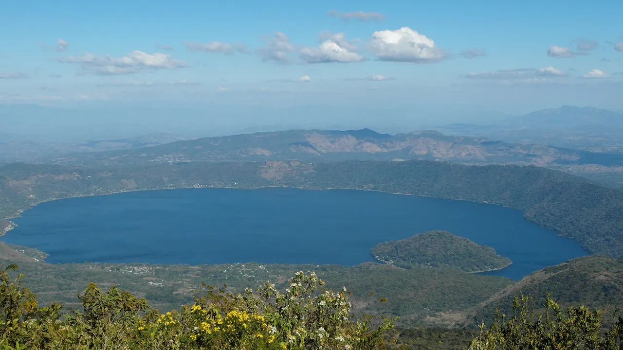
Invest in Santa Ana, El Salvador
At a glance
| Santa Ana | |
|---|---|
| Capital (cabecera) | Santa Ana |
| Population, 2024 | 552,938 |
| Rank by population | 3 of 14 |
| Urban population | 380,576 (68.8%) |
| Land area | 2,023 km² |
| People per km² | 273 |
| Municipalities | 4 |
| Districts | 13 |
Source: BCR and ONEC: VII Population Census 2024, population by department, municipality and district, urban and rural (Excel, in Spanish); UNDP: socio-economic map, guide to the 44 new municipalities of El Salvador, October 2024 (PDF, in Spanish)1,3
Land area is the sum of the municipal areas published by UNDP; density is an InvestSalvador.com calculation from that area and the census.
Map of Santa Ana
Municipalities and districts
Decree 762 merged the 262 old municipalities into 44 from 1 May 2024. The old municipalities became districts. Santa Ana has 4 municipalities:4
| Municipality | Population 2024 | Urban | Area, km² | People per km² | Average labour income, 2023 | Employment rate, 2023 |
|---|---|---|---|---|---|---|
| Santa Ana Centro | 250,760 | 86.5% | 400.1 | 627 | $325.52 | 59.4% |
| Santa Ana Oeste | 148,164 | 67.4% | 447.9 | 331 | $314.88 | 60.7% |
| Santa Ana Norte | 90,056 | 27.3% | 957.0 | 94 | $309.25 | 56.5% |
| Santa Ana Este | 63,958 | 61.3% | 218.3 | 293 | $305.05 | 61.5% |
Source: BCR and ONEC: VII Population Census 2024, population by department, municipality and district, urban and rural (Excel, in Spanish); UNDP: socio-economic map, guide to the 44 new municipalities of El Salvador, October 2024 (PDF, in Spanish)1,3
- Santa Ana Centro (1 district): Santa Ana
- Santa Ana Oeste (6 districts): Candelaria de la Frontera, Chalchuapa, El Porvenir, San Antonio Pajonal, San Sebastián Salitrillo, Santiago de la Frontera
- Santa Ana Norte (4 districts): Masahuat, Metapán, Santa Rosa Guachipilín, Texistepeque
- Santa Ana Este (2 districts): Coatepeque, El Congo
Source: Legislative Assembly: Decree 762, the Special Law for the Territorial Restructuring of El Salvador4
Population and urban share: 2024 census. Area, labour income (average per worker, a month) and employment rate: UNDP, from the 2023 household survey (EHPM).
Largest districts
Source: BCR and ONEC: VII Population Census 2024, population by department, municipality and district, urban and rural (Excel, in Spanish)1
Economy and investment
- Santa Ana district: 250,760 people in the 2024 census, second only to the district of San Salvador.
- Hydropower: the Guajoyo plant of CEL at Metapán, in Santa Ana Norte, has 19.80 MW and has run since 1963.
Source: BCR and ONEC: VII Population Census 2024, population by department, municipality and district, urban and rural (Excel, in Spanish); CEL: contact details and locations of the hydroelectric plants; CEL: audited financial statements 2024, with the capacity of each plant (PDF, in Spanish)1,6,7
Free zones
- Santa Ana, free zone, Santa Ana (Santa Ana Centro)
- Las Mercedes, free zone
- Zona Franca 10, free zone, Chalchuapa (Santa Ana Oeste)
Source: CAMTEX: free zones and industrial parks5
The free zones map shows every zone in the country, including the new zones authorised or under construction.
Sources
- BCR and ONEC: VII Population Census 2024, population by department, municipality and district, urban and rural (Excel, in Spanish)
- BCR: results of the VII Population Census and VI Housing Census, 31 October 2024 (in Spanish)
- UNDP: socio-economic map, guide to the 44 new municipalities of El Salvador, October 2024 (PDF, in Spanish)
- Legislative Assembly: Decree 762, the Special Law for the Territorial Restructuring of El Salvador (in Spanish)
- CAMTEX: free zones and industrial parks (in Spanish)
- CEL: contact details and locations of the hydroelectric plants (in Spanish)
- CEL: audited financial statements 2024, with the capacity of each plant (PDF, in Spanish)
Figures checked 9 November 2026. Prepared by InvestSalvador.com for general information. Figures come from the sources listed.