
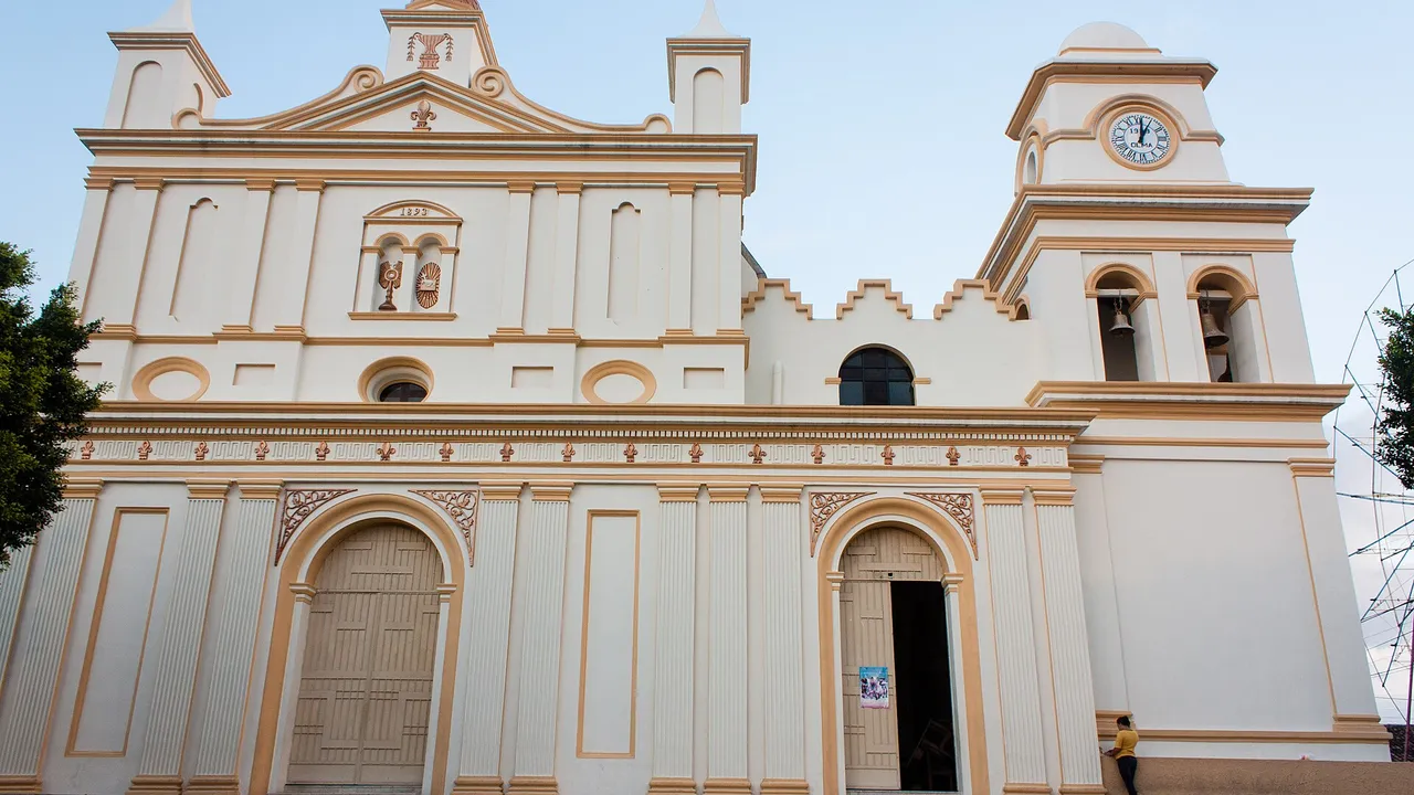
Invest in Chalatenango, El Salvador
At a glance
| Chalatenango | |
|---|---|
| Capital (cabecera) | Chalatenango |
| Population, 2024 | 185,930 |
| Rank by population | 11 of 14 |
| Urban population | 47,710 (25.7%) |
| Land area | 2,017 km² |
| People per km² | 92 |
| Municipalities | 3 |
| Districts | 33 |
Source: BCR and ONEC: VII Population Census 2024, population by department, municipality and district, urban and rural (Excel, in Spanish); UNDP: socio-economic map, guide to the 44 new municipalities of El Salvador, October 2024 (PDF, in Spanish)1,3
Land area is the sum of the municipal areas published by UNDP; density is an InvestSalvador.com calculation from that area and the census.
Map of Chalatenango
Municipalities and districts
Decree 762 merged the 262 old municipalities into 44 from 1 May 2024. The old municipalities became districts. Chalatenango has 3 municipalities:4
| Municipality | Population 2024 | Urban | Area, km² | People per km² | Average labour income, 2023 | Employment rate, 2023 |
|---|---|---|---|---|---|---|
| Chalatenango Centro | 85,829 | 24.0% | 1,018.5 | 84 | $276.50 | 58.8% |
| Chalatenango Sur | 73,295 | 28.3% | 714.0 | 103 | $246.77 | 60.4% |
| Chalatenango Norte | 26,806 | 23.8% | 284.1 | 94 | $468.05 | 67.8% |
Source: BCR and ONEC: VII Population Census 2024, population by department, municipality and district, urban and rural (Excel, in Spanish); UNDP: socio-economic map, guide to the 44 new municipalities of El Salvador, October 2024 (PDF, in Spanish)1,3
- Chalatenango Centro (10 districts): Nueva Concepción, Tejutla, La Reina, Agua Caliente, Dulce Nombre de María, El Paraíso, San Fernando, San Francisco Morazán, San Rafael, Santa Rita
- Chalatenango Sur (20 districts): Chalatenango, Arcatao, Azacualpa, Comalapa, Concepción Quezaltepeque, El Carrizal, La Laguna, Las Vueltas, Nombre de Jesús, Nueva Trinidad, Ojos de Agua, Potonico, San Antonio de la Cruz, San Antonio Los Ranchos, San Francisco Lempa, San Isidro Labrador, San José Cancasque, San Miguel de Mercedes, San José Las Flores, San Luis del Carmen
- Chalatenango Norte (3 districts): La Palma, Citalá, San Ignacio
Source: Legislative Assembly: Decree 762, the Special Law for the Territorial Restructuring of El Salvador4
Population and urban share: 2024 census. Area, labour income (average per worker, a month) and employment rate: UNDP, from the 2023 household survey (EHPM).
Largest districts
Source: BCR and ONEC: VII Population Census 2024, population by department, municipality and district, urban and rural (Excel, in Spanish)1
Economy and investment
- Cerrón Grande: the hydro plant of CEL at Potonico, in Chalatenango Sur, has 186.40 MW, the largest capacity of the CEL plants. It has run since 1977.
- A rural department: 25.7% of the people live in urban areas, against 71.4% in the country as a whole.
Source: CEL: contact details and locations of the hydroelectric plants; CEL: audited financial statements 2024, with the capacity of each plant (PDF, in Spanish); BCR and ONEC: VII Population Census 2024, population by department, municipality and district, urban and rural (Excel, in Spanish)5,6,1
Sources
- BCR and ONEC: VII Population Census 2024, population by department, municipality and district, urban and rural (Excel, in Spanish)
- BCR: results of the VII Population Census and VI Housing Census, 31 October 2024 (in Spanish)
- UNDP: socio-economic map, guide to the 44 new municipalities of El Salvador, October 2024 (PDF, in Spanish)
- Legislative Assembly: Decree 762, the Special Law for the Territorial Restructuring of El Salvador (in Spanish)
- CEL: contact details and locations of the hydroelectric plants (in Spanish)
- CEL: audited financial statements 2024, with the capacity of each plant (PDF, in Spanish)
Figures checked 9 November 2026. Prepared by InvestSalvador.com for general information. Figures come from the sources listed.