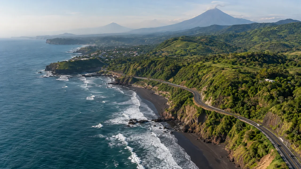
Location and Market Access of El Salvador
Where El Salvador sits
- Borders: Honduras to the north and east, Guatemala to the west and the Pacific Ocean to the south. In the Gulf of Fonseca it also shares maritime borders with Honduras and Nicaragua.
- Administration: 14 departments grouped in western, central and eastern zones, and 44 municipalities since the 2024 reform (there were 262 before).
- Capital: San Salvador. Other main cities are Santa Ana in the north-west and San Miguel in the east.
- Language and currency: Spanish; the US dollar is used for everyday prices and contracts.
Source: Spanish Ministry of Foreign Affairs: El Salvador country profile, April 2026 (PDF, in Spanish)1
The 2024 census counted 6,029,976 people. The department of San Salvador holds 26.4% of them, La Libertad 12.9% and Santa Ana 9.3%, so the market is concentrated around the capital.2
Where the exports go
| Destination | Exports, January to September 2026 (USD million) |
|---|---|
| United States | 1,662.3 |
| Guatemala | 1,005.5 |
| Honduras | 798.3 |
| Nicaragua | 455.7 |
| Costa Rica | 229.0 |
| Mexico | 214.1 |
| Panama | 92.6 |
| Dominican Republic | 74.4 |
| All destinations | 5,093.1 |
Source: Central Reserve Bank: foreign trade statistics4
Guatemala, Honduras, Nicaragua, Costa Rica and Panama together bought USD 2,581.1 million, about 51% of the total, and the United States about 33%. The main products were T-shirts, sweaters, plastic packaging, sugar, electrical capacitors and coffee.4
Air, sea and land links
- Air: the international airport handled more than 5.2 million passengers in 2025. Los Angeles, Washington and Houston are the main cities for arrivals.
- Sea: the Pacific port of Acajutla has a weekly direct container service to Los Angeles run by Ocean Network Express (ONE). The port of La Unión on the Gulf of Fonseca serves the east.
- Land: 56% of international visitors in 2025 arrived by land. Visitors from Guatemala and Honduras made up 48% of all visitors.
Source: CEPA: the international airport closes 2025 with growth; El Salvador.com: direct flights from the international airport; Diario El Mundo: Los Angeles, Houston and Washington are the main cities for airport arrivals; El Salvador.com: Acajutla port to get a new pier and a direct link to the United States; Ministry of Tourism: tourism statistics report 20255,6,7,8,9
Frequently Asked Questions
Where is El Salvador?
El Salvador covers about 21,040 km² on the Pacific coast of Central America, between Guatemala and Honduras.
What time zone is El Salvador in?
UTC−6 all year, the same as US Central Standard Time in winter, with no daylight saving time.
Where do El Salvador’s exports go?
From January to September 2026 about half of its exports went to Central America and Panama and about a third to the United States.
Sources
- Spanish Ministry of Foreign Affairs: El Salvador country profile, April 2026 (PDF, in Spanish)
- Central Reserve Bank: results of the 2024 population and housing census (in Spanish)
- timeanddate.com: time zone in San Salvador
- Central Reserve Bank: foreign trade statistics (in Spanish)
- CEPA: the international airport closes 2025 with growth (in Spanish)
- El Salvador.com: direct flights from the international airport (in Spanish)
- Diario El Mundo: Los Angeles, Houston and Washington are the main cities for airport arrivals (in Spanish)
- El Salvador.com: Acajutla port to get a new pier and a direct link to the United States (in Spanish)
- Ministry of Tourism: tourism statistics report 2025 (in Spanish)
Figures checked 8 November 2026. Prepared by InvestSalvador.com for general information. It is not investment, tax or legal advice; please confirm details with a qualified adviser before acting.